Our website and our own links are in English. Some external links are not translated, and we’re sorry that we can’t help with their content. We recommend using a browser with built-in translation support.
Short to slightly longer trails
(0.6 km to 15 km, with different levels of difficulty)
To have the best possible trail experience, it helps to read about the area before you go. The links provide up-to-date information about the trails, including any changes or things to be aware of, such as closures, difficult sections or temporary issues. Rundslinga is a loop trail.
Skärmarbodabergen
Skärmarbodabergen is a large and dramatic nature and outdoor area with many caves, rocky valleys and viewpoints in hilly terrain. There are several trails and loops that together cover around 30 km of walking routes. You can choose a short walk or combine several routes for a longer trip. The area is easy to reach by bus, with a stop at each end.
More information about:
- Bus stop:
- Lilla rundan - Naturkartan - 0,6 km
- Yoldiarundan - Naturkartan - 2,4 km
- Bergsrundan - Naturkartan - 2,2 km
- Skogsrundan - Naturkartan - 2,1 km
- Barmarksled - Naturkartan - 1,6 km
- Carlannersarundan - Naturkartan - 1,2 km
- Om Skärmarbodabergen - Länsstyrelsen
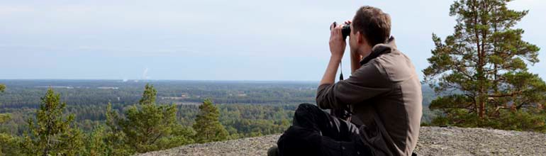
Photo: Elisabeth Karlsson
Sveafallen
Sveafallen Nature Reserve is located on the outskirts of Degerfors and has several short trails that connect to each other. You can walk part of them or all of them together, making a route of about 5–6 km. Here you will find one of Sweden’s most striking Ice Age landscapes, with large potholes, impressive boulders and rock formations shaped by the ice sheet. Today, you walk through quiet, forested surroundings, while each step takes you through a fascinating geological history.
More information about:
- Bus stop Sveafallen, route 502 and 593 (weekdays only). For routes 502 and 593, you can change at Karlskoga bus station. It is about 400 m from the bus stop to Grytrundan.
- Grytrundan - Naturkartan - 1 km
- Diabasrundan - Naturkartan - 1,8 km
- Skogsrundan - Naturkartan - 1,8 km
- Bergtjärnsrundan - Naturkartan - 1,4 km (Sveafallen ligger på leden)
- Om Sveafallen - Länsstyrelsen
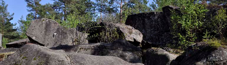
Photo: Elisabeth Karlsson
Dalbotorpsravinerna
Dalbotorpsravinerna Nature Reserve is an area of varied old forest on sandy ground, with terrain that ranges from easy to walk to more hilly. Deep stream ravines and small rocky hills make the area both interesting and scenic. Many rare and threatened species can be found here, making it a great place for nature lovers. The trail is 1.8 km long and can be reached by a walk of about 1–1.4 km from the bus stop, depending on where you start.
More information about:
- Bus stop Norra Fingerboda, route 406 and 420. For routes 406 and 420, you can change at Nora Station or Lindesberg resecentrum.
- Dalbotorpsravinerna - Naturkartan
- Om Dalbotorpsravinerna - Länsstyrelsen
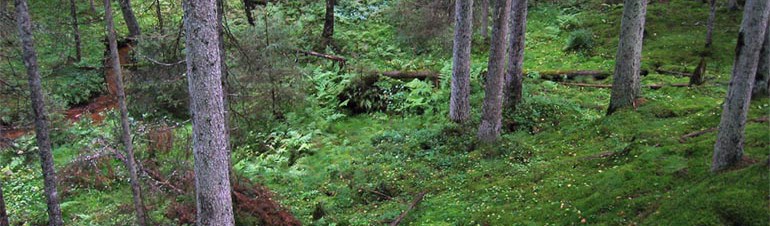
Photo: Kjell Store
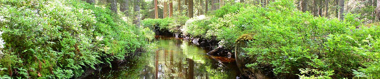
Lindblomsmossen
The trail runs through an area with several open water areas and small hills that have been restored through a LONA project. Water flows in from the River Dohnaforsån and continues towards Alsen, the northernmost bay of Lake Vättern. The trail follows a narrow path and is 2.1 km long. Sheep are in the area in summer.
More information about:
- Bus stop Askersunds busstation, route 700, 704, 707, 752 (weekdays only) and 790. It is 1 km to the start of the trail. The trail is located on the opposite side of road 50 from Askersund town.
- Lindbomossen, trail - Naturkartan
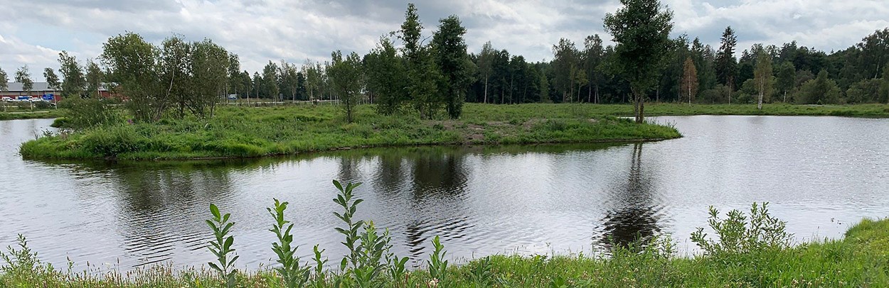
Photo: Lars Ivar Jansson
Knuthöjdsmossen
Knuthöjdsmossen Nature Reserve and the nearby Hammarmossen are both very distinctive wetland areas. The many small pools make the mires a rich habitat for a wide range of birds. The two areas are located outside Hällefors and are connected by a circular route of about 2.5 km, divided into two loops that link together. The northern loop is closed from 1 April to 1 September due to nesting birds.
More information about:
- Bus stop:
- Ramströmsvägen, route 402 (weekdays only). It is 1.6 km to the start of the trail.
- Bus stop Hällefors resecentrum, route 400, 402 (weekdays only), 420 and 490. It is 2.7 km to the start of the trail.
- Vandringsled Knuthöjdsmossen - Naturkartan
- Knuthöjdsmossen/Hammarmossen - Länsstyrelsen
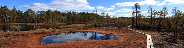
Photo: Kjell Store
Lekeberga-Sälven
Lekeberga-Sälven Nature Reserve has a striking ravine landscape, where the rivers Garphytteån and Lekhytteån have cut down into sandy ground. The area lies on the border between the forested region of Lekeberg and the plains of Närke. When you walk down into the ravine, it can feel like entering another world. You see only the sky above you, and the noise of everyday life does not reach down here. The trail is located near Hidinge and is about 3.1 km long.
More information about:
- Bus stop Hidinge kyrka, route 620
- (weekdays only), 420 and 490. It is 100 m to the start of the trail.
- Vandringsled Lekeberga-Sälven - Naturkartan
- Lekeberga-Sälven - Länsstyrelsen
Photo: Anna-Karin Roos
Lillbjörksleden
You can walk part of stage 13 of the Bergslagsleden (Sixtorp–Svartå). This section is called Lillbjörksleden. You start in Svartå and follow the trail towards Svartå Manor and the old ironworks. The walk is about 3 km and follows the shore of Lake Lilla Björken. You can also walk around the lake, which makes the route about 5 km.
Difficulty level: Medium (blue)
More information about:
- Bus stop
- Bruksgatan, Svartå, route 593. (Bus 593 only runs on weekdays. You can change to this bus at Laxå station or Karlskoga bus station.) It is 400 m from the bus stop to the trail.
- Svartå herrgård, linje 593. (Bus 593 only runs on weekdays. You can change to this bus at Laxå station or Karlskoga bus station.) It is 350 m from the bus stop to the trail.
- Lillbjörksleden
- Svartå gamla bruk - Naturkartan
- Sixtorp - Svartå, Bergslagsleden etapp 13 - Naturkartan
- Sixtorp - Svartå, Bergslagsleden etapp 13 - Bergslagsleden
Photo: svarta.nu
Kottabergens rundslinga (Loop trail)
(or walk part of the loop and a short section of Bergslagsleden stage 6)
The trail has a red difficulty level (hard). It is a more demanding route of 4.7 km and takes about 1 hour and 10 minutes to walk. The trail passes through the historic mining area in Pershyttan and continues through varied forest and cultural landscapes. Here, you will find both steep sections and fine viewpoints on a reasonably long circular walk.
Walk part of the Kottaberget loop and part of Bergslagsleden stage 6
You can also walk part of the loop and then continue a short distance on Bergslagsleden stage 6 (Hammarby–Pershyttan) to the bus stop “Bergslagsleden”. This makes the walk about 10 km in total and offers a good combination of challenge and varied surroundings.
There are two places where the trail branches off from another trail. Pay attention and follow the correct markings, otherwise you may end up on a much longer route.
- At Gamla Pershyttan, near Domaregården, you change to Bergslagsleden. Here, the Kottaberget loop runs together with both
- Bergslagsleden stage 6 and the Digerberget loop. Pay extra attention where Bergslagsleden separates from the Digerberget loop so that you go in the right direction.
- Also think about where you plan to finish your walk, so that you do not continue too far along stage 6 and miss the bus stop.
More information about:
- Hållplats:
- Rundslinga Kottaberget - Naturkartan
- Kottaberget - Bergslagsleden
- Hammarby - Pershyttan, Bergslagsleden etapp 6
- Hammarby - Pershyttan, Bergslagsleden etapp 6 - Naturkartan
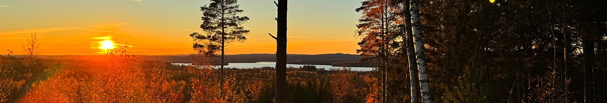
Photo: Bergslagsleden
Part of Bergslagsleden stage 2
Bergslagsleden Stage 2 passes just outside Kopparberg. Get off at Björkbrotorp and walk towards Kopparberg. You will then reach the connecting path to Kopparberg station. This connecting path is the last part of Postleden Stage 4. Be careful where the paths split and follow the signs for Postleden Stage 4. It is a pleasant walk of about 7–8 km through varied scenery.
More information about:
- Bus stop:
-
- Björkbrotorp, route 360 (weekdays only)
- Kopparbergs station, route 308 (weekdays only), 360 (weekdays only) and train. It is about 1.7 km from the bus.
- Gillersklack - Stjärnfors, Bergslagsleden etapp 2 - Naturkartan
- Anslutningsled Kopparberg station-Bergslagsleden - Naturkartan
- Bergslagsleden etapp 2 - Bergslagsleden
Photo: Bergslagsleden
Mariedammsleden
Mariedammsleden goes through an area with a lot of mining history. Along the trail, you come to Runsala meadow, which has many different plants. You can also see the Runsala oak there. It is several hundred years old and very large. The trail also crosses a shallow lake. If the water is high, you may need to walk through the water. In summer, there may be farm animals in fields along the trail. The trail is about 9 km long.
More information about:
- Bus stop Mariedamm, route 752 (weekdays only). It is about 800 m from the bus stop to the trail.
- Mariedammsleden - Naturkartan
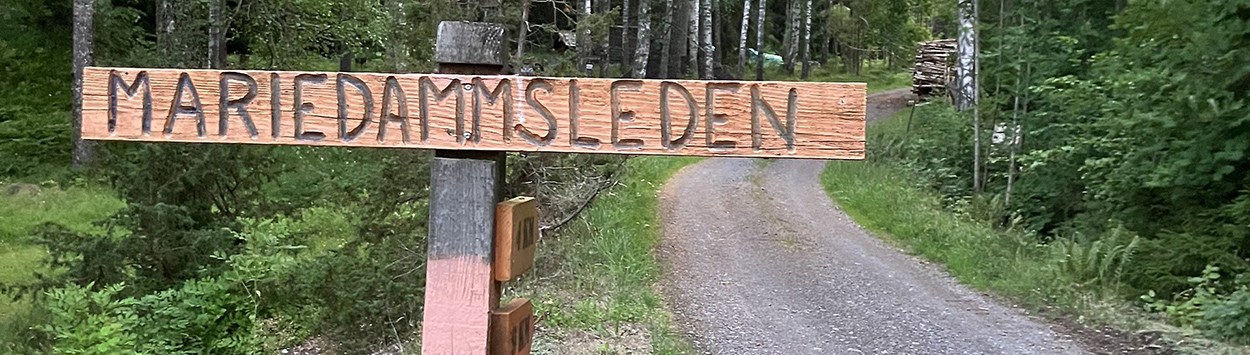
Photo: Kersti Beck Larsson
Loop trail Digerberget
Walk around Digerberget and enjoy beautiful nature and great views. The walk goes through the historic mining and ironworks area in Pershyttan. Here, you can see Sweden’s only working water wheel with a rod system.
The trail is about 10 km long.
More information about:
- Bus stop Pershyttevägen route 402 (weekdays only), 403 (weekdays only) and 490.It is about 1.2 km from the bus stop to the trail.
- Rundslinga Digerberget - Naturkartan
- Rundslinga Digerberget - Bergslagsleden
Bergslagsleden stage 7
The trail takes you from Pershyttan to Mogetorp, a distance of 15 km. The walk starts in the charming historic mining and ironworks area in Pershyttan and continues through beautiful forest and lake scenery. Along the way, you pass Dammsjön and Rammsjön. You can reach Rammsjön by a short detour from the village of Ramshyttan. A scenic and varied stage where you can enjoy both local history and nice places to swim.
More information about:
- Bus stop:
- Pershyttan – Mogetorp, Bergslagsleden Etapp 7 - Naturkartan
- Pershyttan – Mogetorp, Bergslagsleden Etapp 7 - Bergslagsleden